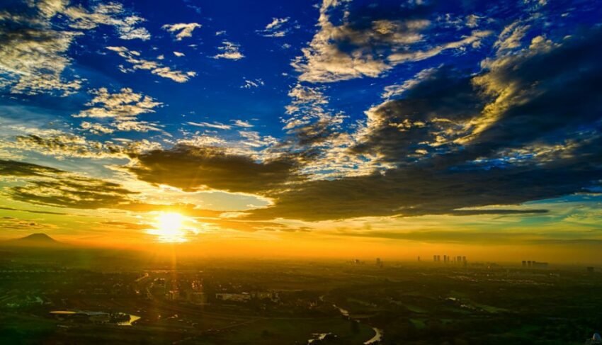
The weather of Boyolali is affected by the existence of two large mountains that flanked it — Merapi Mountain (2,930 mdpl) on the southwest and Mount Merbabu (3,142 mdpl) in the northwest. The Boyolali district of Central Java has topography varied from the low plains of the east to the high mountain slopes of the west. — generate diversity Boyolali weather Very significant in one district. _ ~300 mdpl has a different weather from the New Selo region on the Merapian slope (1,600 mdpl) and the Cepogo and Ampel region known as the Central Java's largest silver cow centra.
Key Takeaways
- Boyolali is flanked by Mount Merapi (southwest) and Mount Merbabu (northwest) — The weather is very varied between the eastern lowlands and the western mountain slope.
- Boyolali is the biggest mildew farm in Central Java — Weather and temperature are very influencing cow milk productivity.
- The Eruption of Mount Merapi can rain ash in Boyolali and affect agriculture and farms significantly.
- BMKG Central Java (Boyolali): bmkg.go.id / weather / premise -weather / 33.09
- Monitor Today's weather and 7-day forecast.
Today's Boyolali Weather Check
- Central Java BMKG — bmkg.go.id / weather / premise -weather / 33.09
- BMKG Info Application — Automatic GPS for forecasts per achievement in Boyolali
- Cuaca.in — Today's weather and 7-day forecast
General Question about the Weather of Boyolali
What's Boyolali's average temperature?
Boyolali weather temperatures vary greatly depending on the elevation of the location:~300 mdpl) has flat temperature 22-32 ° C — Comfortable for Central Java lowlands. Cepogo and Ampel area (elevation 600-1,000 mdpl) has a temperature of 18-26 ° C — ideal for dairy farms because Frisian Holstein (FH) cows are the dominant milk cows in Indonesia production optimal at 16-22 ° C The New Selo area on the Merian slope has a temperature of 12-22 ° C. — It's cool and fit for adventure and climbing. The peaks of Merbabu and Merbabu (2,900-3,142 m) could drop below 5 ° C at night. Boyolali rainfall average 2,00-2,800 mm per year — It's quite high, especially in the western slopes that receive more rainfall from orographic influence.
How does a volcano eruption affect weather and environment in Boyolali?
The volcano located at the borders of Boyolali@@ — The eruption has almost always brought a direct impact on Boyolali, especially the Selo, Cepogo, and Ambel on the west slope. The impact of the eruption on the weather and the environment in Boyolali: volcanic ash rains cover crops and poison feed — dairy milk productivity falls drastically for 1- 4 weeks after a massive eruption; volcanic ash floating in the atmosphere can affect air quality and visibility throughout Boyolali; cold lava flows through the Merapo slopes and can affect the water in the lower areas; and in a massive eruption like 2010, the pyroclastic (pyroclastic) of the cooling rivers threaten immediate settlements in the lowland. BMKG and PVMBG are coordinating in order to give an early warning of the Fiery eruption.
Why does Boyolali become a milk cow and what does it have to do with the weather?
Boyolali, particularly the region of Cepogo and Ampel on the slopes of Mount Merbabu and Merapala, is the largest peppers' centra in Central Java with a population of milk cows over 100,000. Contrary to the weather very closely: cool temperatures in the mountain slope (16-24 ° C) ideal for Frisian Holstein's dairy cow from the European temperate climate — milk production increases in cool and low temperatures in heat over 27 ° C; high rainfall throughout the year ensures the availability of fresh grass as a main feed of cows; and a humid climate conditions prevent heat stress in cattle. But extreme cold weather in the dry season.
When is the best time to climb Mount Merbabu from Boyolali?
Mount Merbabu can be climbed through the route of Boyolali via the popular Selo Basecamp. The best time is based on weather: the dry season (Mei-October), the best peak of June-August as the sky is brightest and highest view — from the top of Merbabu on a clear day you can see Merapah, Lawu, Sindoro, Subbing, even Semeru and Rinjani on a very clear day; avoid climbing in the top rain (February) — The path is very slippery, thick fog reduces visibility very drastic, and the risk of hypothermia increases because cold rain at altitude; always checking the H-1 weather forecast and H-0 before climbing through BMKG or reliable weather applications; and registration at Mount Merbabu National Hall will provide you with information on the current state of track and weather.
What's the impact of the long drought on Boyolali?
Long dry season, especially when it's reinforced by El Niño, has a serious impact on Boyolali: drought in the low plains east of Boyolali (Andong, Klego, Karanggede) which depends on the rain for agriculture — Farmers have to replace rice plants with palawija that are more tolerant of drought; dairy cow productivity can be reduced due to lack of green feed and increased heat stress in the high areas; water sources in Merapia and Merbabu debus are significantly decreased. — threaten the water supply of settlements and farms in the slopes; and the risk of forest fires and land on the slopes of Merbabu and Merbabu increasing rapidly in the long drought — There have been numerous fires that have scorched the vegetation of Mount Merbabu National Park.
Understand Boyolali weather — From the influence of Merapia and Merbabu over local climate, his role in supporting dairy farms, to the risk of volcanic eruptions affecting the weather — is the key to a safer and productive life in this rich district. Keep monitoring Today's weather and 7-day forecast.

