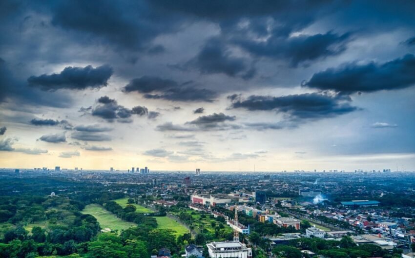
Garut Weather has a unique climate character among the cities of West Java — Garut City located in the basin surrounded by active volcanoes (Papandayan, Thunder, Gallungran, Clusray) in elevation around 717 meters has a cold climate with very high rainfall. Garut Weather It's affected by topography that maximizes orography rain from all directions: winds from the South (the Altans) rise to hit the South Garut Mountains, winds from the west hit the mountains on the west, resulting in a massive downpour of rain high in some areas of Garut that reach 3,000- 4,000 mm per year.
Key Takeaways
- Garbage in the basin surrounded by active volcanoes has a cool climate with a very high rainfall in the mountain area.
- Mount Papandayan, active south of Garut, gives double risk: volcanic ash and rain lava in the rainy season.
- West Java BMKG provides a project for Garut in bmkg.go.id / weather / weather / 32.05.
- The River of Cimanuk that rises in the mountains of Garut is a source of dangerous floods — It's known for the 2016 flood flood.
- Garut tourism (Cijan, Skit Contract, Pameungpeuk Beach) has very different weather from each other because of extreme topography variations.
Weather Garut and Bandang Flood
The flood in September 20, 2016 that killed more than 30 souls and destroyed the area on the banks of the River Cimanuk is a reminder of how dangerous extreme rain is in the Garut. The Cibuk rivers that rise on the hillside of the South Garut can flow very rapidly when heavy rains are prolonged in the upstream. The weather Garut in the rainy season must always be closely monitored, especially for residents living in a river bank. Monitor the weather and warning early through Today's weather and 7-day forecast.
Today's weather check way
- West Java BMKG (Garut) — bmkg.go.id / weather
- BMKG Info Application — GPS reality-time for target specific Garut region
- PVMBG (Volcanology Center) — The status of Papandyan Mountain's activities, Thunder, and Galungkok which affects Garut's weather risk
- Cuaca.in — Today's weather and 7-day forecast
General question about Garut Weather
What's Garut's average temperature?
Garut City's average temperature is approximately 15-28 ° C — cooler than Bandung, let alone Jakarta. The famous Cisummer Garut tour area with hot springs is in higher elevation and the temperature is slightly colder. Papandayan Area (1,000,665 meters) can be very cold — It drops to 5-10 ° C at the peak at night. The Pameungpeuk coast in the south Garut that borders on the Indian Ocean is much hotter (28-35 ° C) — Very different from Garut City in the basin.
Does Mount Papandyan affect Garut's weather?
Mount Papandayan (2,665 mdpl) located south of Garut City affects local weather Garut in some ways: the topography of Papandyan blocks and turns the winds from the south, affecting the distribution of the rainfall in Garut basin; when Papanyan eruptions, volcanic ash can be carried to Garut City and affect the air quality; and in the rainy season, heavy rain in Papandayan can trigger the dangerous rain in these dangerous mountains.
Why is Garut vulnerable to a flood?
Garut is vulnerable to flood because of combination: the rainfall is so high in the mountains (can reach 100-200 mm in a few hours); the slope of the slope makes the water flow very rapidly to the valleys; the river is narrow and narrow (especially the Ciber and its children) can't hold the debit all of a sudden; and the area is too close to the river at risk. The 2016 flood flood is living proof of how quickly things are going from normal to disaster.
When's the best time traveling to Garut?
April (relative dry season) is the best time for a trip to Garut — More sunny days, less flood risk and less avalanche, and better road conditions to nature travel areas. Travel to Papandyan crater, Talaga Bodas, and the Pameungpeuk coast is more comfortable this season. In the rainy season (Oktober- March), the trip to the mountain crater was highly unadvised — Thick fog, slippery roads, and the risk of a frequency eruption.
How does the weather affect the production of a Garut doll?
The famous Garut Dodol across Indonesia requires certain conditions in its production process. Weather affects some aspects: high humidity in the monsoon makes the dodol more difficult to dry and harden. — typical Garut climate support); and the distribution of the dodol out of town could be disrupted by floods and landslides that shut down the Garut exits in the rainy season.
Cool climate and dynamic Garut weather — From the mountain basin surrounded by volcanoes to the south coast facing the Indian Ocean directly. — Making Garut County one of the most dramatic climatic variations in West Java. Keep monitoring Today's weather and 7-day forecast.

