Have you ever wondered how modern weather forecast works Can you predict the rain for the next seven days with some pretty high accuracy? Behind the temperature numbers and rain symbols that you see in the weather app, there are very complex advanced technologies and scientific processes. Understand modern weather forecast works helps us appreciate and use the proper weather information.
Weather Production Short History
Weather forecasts have been practiced by humans since thousands of years ago through the observations of natural signs. Our ancestors noticed the color of the sky, the behavior of animals, and the shape of clouds to predict the weather. However, scientific weather forecasts have been growing rapidly since the 19th century.
The most important cane in the history of modern weather forecasts was the telegraph development in the 1840s that allowed a real-time weather exchange. Later on, the first season-1 weather satellite launch by the U.S. in 1960 revolutionized global weather monitoring capabilities. As a result, the weather forecast accuracy has increased dramatically in recent decades.
Modern Weather Prediction Data Source
Modern weather forecasts depend on thousands of data sources collected simultaneously from all over the Earth. The more accurate and accumulated data is, the better the quality of the prediction is produced.
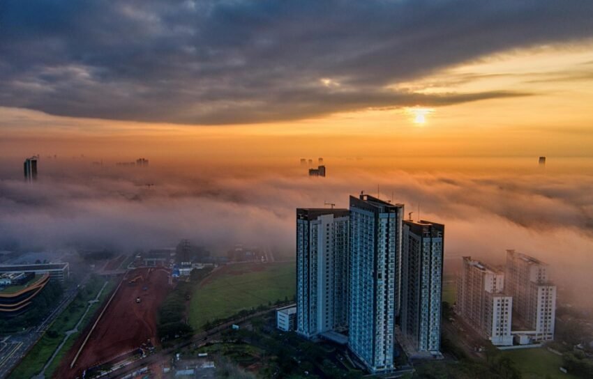
Weather Satellite — There are currently over 30 weather satellites orbiting the Earth and gathering data constantly. This satellite records images of clouds, ocean surface temperatures, atmospheric humidity, and wind speeds from hundreds of kilometers of altitude. Satellite data is crucial to monitor weather conditions in the oceans and remote areas that cannot be reached land weather stations.
Weather Radar — Weather radar emits microwaves that bounce off water drops and ice crystals in the clouds. From this reflection, radar systems can determine the location, intensity, and the motion of rain. Indonesia has a weather radar network run by BMKG to monitor the weather in real time throughout the nusantara.
Land Weather Station — Over 10,000 weather stations spread around the world measuring temperatures, air pressure, moisture, wind, and rainfall every hour. In Indonesia, BMKG operates over 200 meteorological stations. In addition, thousands of automated weather stations and volunteered to complete the official observation network.
Radiosonde balloons — Every day, thousands of weather balloons are launched from meteorological stations all over the world. This balloon carries instruments that measure temperatures, humidity and wind to a height of 30-40 km in the stratosphere. This vertical atmospheric profile data is crucial to weather prediction models.
Plane and Ship — Thousands of commercial flights and ships also contribute as weather observers. The ship measured the atmosphere conditions during flight, while the ship measured the ocean conditions like surface temperatures and wave height.
Weather Data Processing
Once the data is collected, the very complex processing process begins. This tray requires supercomputers at extraordinary computation speed because of the volume of data and the complexity of the calculations involved.
Data assimilation — First, all the data from various sources combined and distandarized. This process is called assimilation of data and aim to create a picture of the conditions of the global atmosphere consistent at one particular time. The data discrepancy of various sources was completed using a sophisticated statistical algorithm.
Weather Numeric Model — The data that's been assimilated is then put into numerical weather forecast. This model is a computer program that simulates atmospheric behavior using complex mathematical physics equations. The most powerful supercomputer in the world runs this model within a few hours.
Post- Processing — Raw output of the numeric model is then processed further to generate an easy-to-understand premise. This process involves statistical corrections based on historical data and adjustments to local conditions such as topography and urban influence.
Used Global Weather Model
Various meteorological institutions of the world develop their own numerical weather model. Each model has a different quality and flaws. Therefore, the best weather forecast generally combines the output of some models at once.
ECMWF. — Admittedly the most accurate global weather model of the day. Based on Reading, England, ECMWF operates on one of the largest supercomputers in the world. This model consistently beats other models in international weather forecast competitions.
GFS (Global Forecast System) — The model NOAA of the United States is available for free and open to the public. GFS runs four times a day and produces forecasts for the next 16 days. This model was used as a base by many weather services including Cuaca.in through Open@-@ Meteo.
Indonesia BMKG — In addition to using global models, BMKG also developed a more detailed regional model for the Indonesian region. This regional model uses a higher spatial resolution so it's more accurate for local Indonesian islands.
Weather Production Limit
Although modern weather forecast technology is very sophisticated, there are fundamental limitations that cannot be fully overcome. Understanding this limitation is important so that we don't get too disappointed at the right foreplay.
First, the atmosphere is a caotic system that's very sensitive to early conditions. A small mistake in initial measurement can develop a huge difference in long-term foreplay. It's known as the butterfly effect in the chaos theory. As a result, forecasting over the next 10 days has a very high uncertainty rate.
Second, the spatial resolution model is still limited. The best global model today has a resolution of about 9-13 km, meaning weather conditions on one grid treated by uniforms. However, actual weather conditions could very vary within a few kilometers, especially in the mountain areas.
To get the best weather forecast available, use Today's weather. Cuaca.in which uses Open-Meteo data based model ECMWF and GFS. Available as well 7-day forecast With data updates every 30 minutes.

